Laser Scanning – Drysdale Bridge near Geelong
The team at Swanson Surveying were recently engaged to undertake an as-built survey of a new bridge being constructed near Geelong. The client needed to confirm the as-constructed dimensions of the bridge compared to design in a timely manner, without delaying the construction process.
Swanson Surveying’s team of land surveyors soon realised that utilising laser scanning technology would allow the client to obtain the most amount of data, with the highest degree of accuracy in the minimum amount of time. It also removed the need to access to the side of the structure in elevated work platforms reducing time on site and risk to staff.
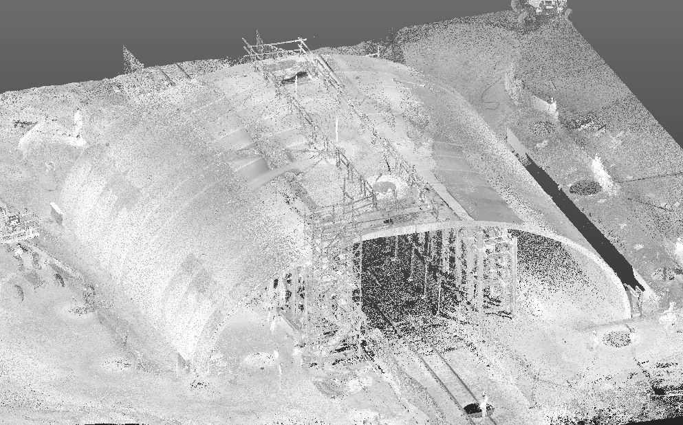
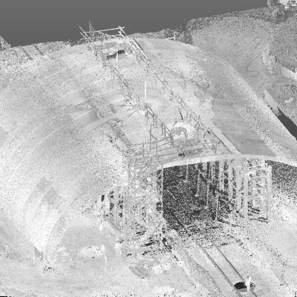
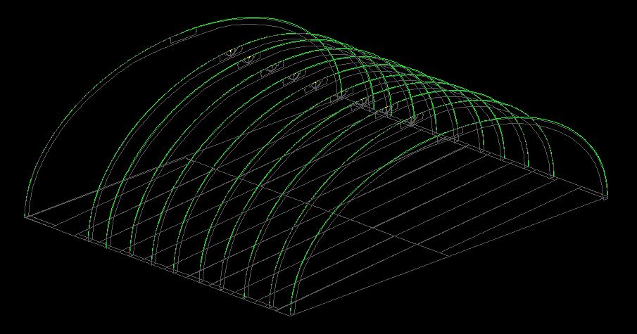
The dataset was reduced into a point cloud (see Image 1), which could then be imported into CAD software (see Image 2). This allowed comparisons to the bridge structure design to confirm set out dimensions prior to the installation of further structural elements to confirm that they would fit. A full set of as-built plans and sections comparing survey information to design were delivered to the client in PDF and CAD formats
If laser scanning or a point cloud data set could be of use for your next construction project in Geelong, Melbourne, Ballarat or Western Victoria, please contact us directly to discuss your requirements.

Laser Scanning


